150x100cm the world political map with national flags foldable canvas painting wall poster classroom home decor school supplies
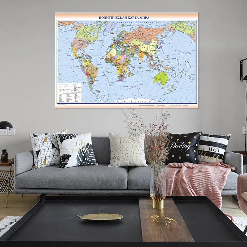
225*150cm The World Political Map In Russian Foldable Canvas Painting Non-woven Wall Art Poster School Education Supplies
1112.23 Руб.

150x100cm The Eurasian Continent Map Political Distribution Map Non-woven Canvas Painting Wall Art Poster and Print Home Decor
1052.91 Руб.

60*40cm The World Topography Map Canvas Painting Wall Art Poster School Supplies Classroom Living Room Home Decoration
342.94 Руб.
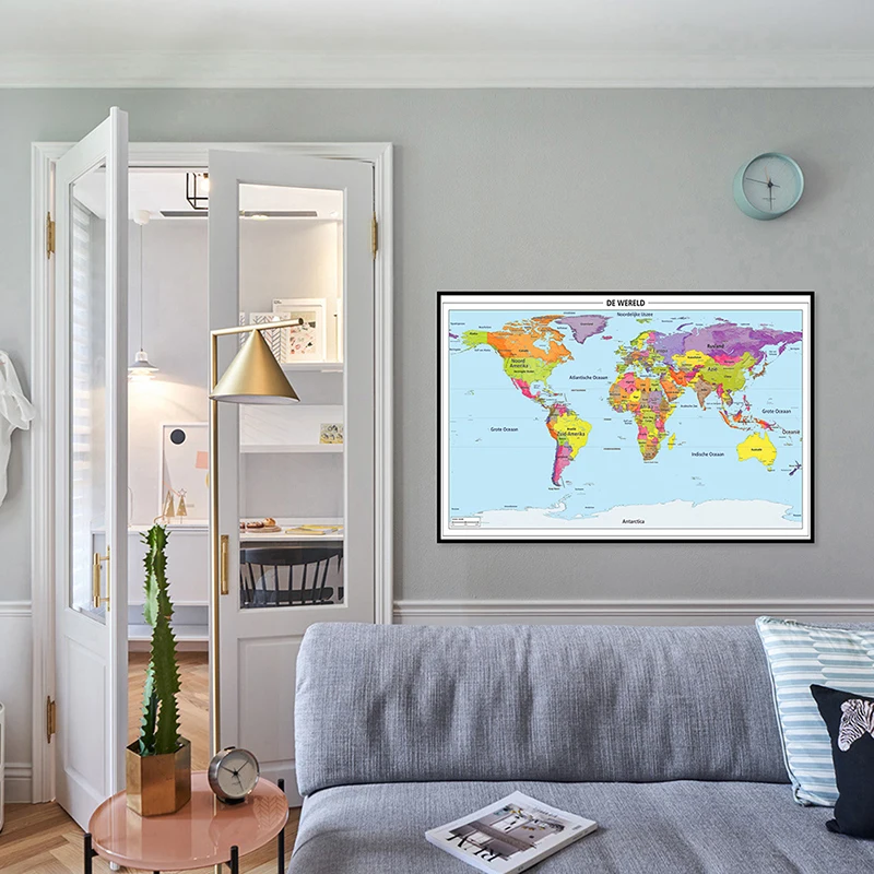
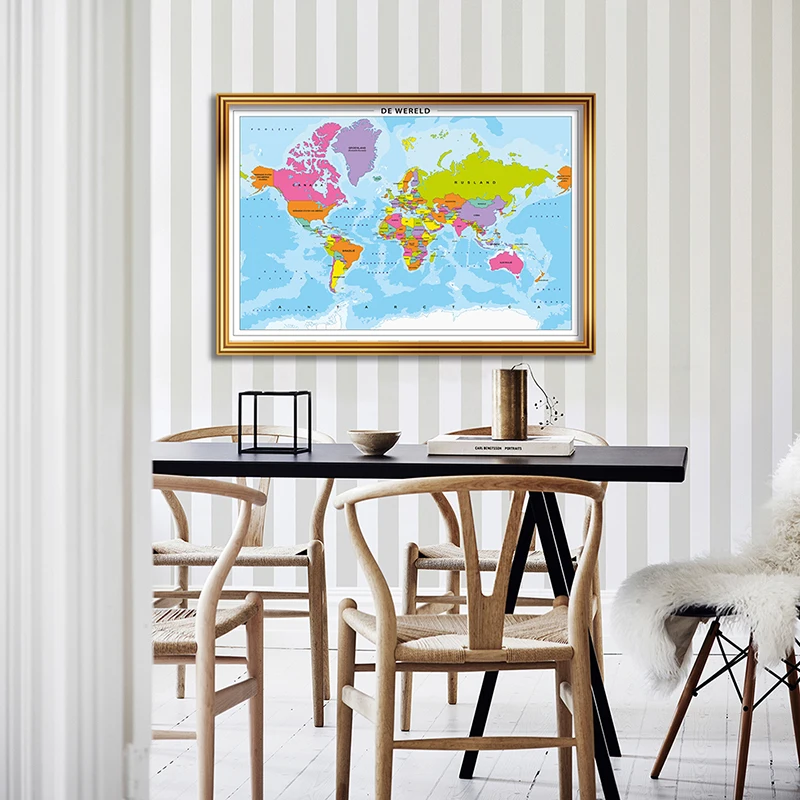
90*58cm The World Political Map In Dutch Spray Canvas Painting Wall Art Poster Living Room Home Decoration School Supplies
1188.24 Руб.

150x100cm Premium Ukrainian Map of The World Non-toxic World Political Map Painting with Country Flags Personalized Travel Gift
989.89 Руб.

150*100cm World Map Non-woven Canvas Painting Wall Decorative Poster Art Print Unframed Pictures Home Decor Classroom Supplies
1047.35 Руб.
84*59cm The Wold Political Map In Dutch Wall Art Poster Canvas Painting Children School Supplies Living Room Home Decoration
1695.23 Руб.

90*90 cm Political Map of The France Non-woven Canvas Painting Wall Art Poster Living Room Home Decor School Supplies In French
711.83 Руб.
150*100 cm Political Map of The Spain In Spanish Non-woven Canvas Painting Wall Art Poster Home Decoration School Supplies
1053.84 Руб.

Описание:
An introductory atlas for secondary schools, perfectly designed to support and motivate Key Stage 3 students in geographical and mapping skills. This secondary school atlas for students aged 11-14 is designed to help develop map, atlas and data handling skills. The content adheres closely to the requirements of the National Curriculum and incorporates results of classroom testing. Its clear and accessible layout will motivate pupils of all abilities at Key Stage 3 and S1-S2. An easy-to-follow introductory 'map and atlas skills' section, useful for both teacher and pupil, is followed by clear, accessible reference maps presented with locator maps, fact boxes and flags, descriptive text, detailed map keys and photos. Carefully selected focus country studies include mapping on contrasting regions and special topics. Regions included in this edition include Russia and the Middle East. The latest available country-by-country statistics are listed in a separate section and the index includes full latitude and longitude values. The world section covers all the global issues required by the National Curriculum e.g. climate change, population, biomes, earthquakes and volcanoes.